
JT128 · 128 line
This page corresponds to JT128; the number of wires and configuration of the same series JT64P are selected separately.
 Germany
 Netherlands
 Switzerland
 Austria
 Norway
 Finland
Hesai Hesai · LiDAR LiDAR
Compact hemispheric field of view LiDAR, suitable for near-field and peripheral sensing of robots. It can be combined with positioning and depth sensing modules to provide point cloud input for upper-layer algorithms.
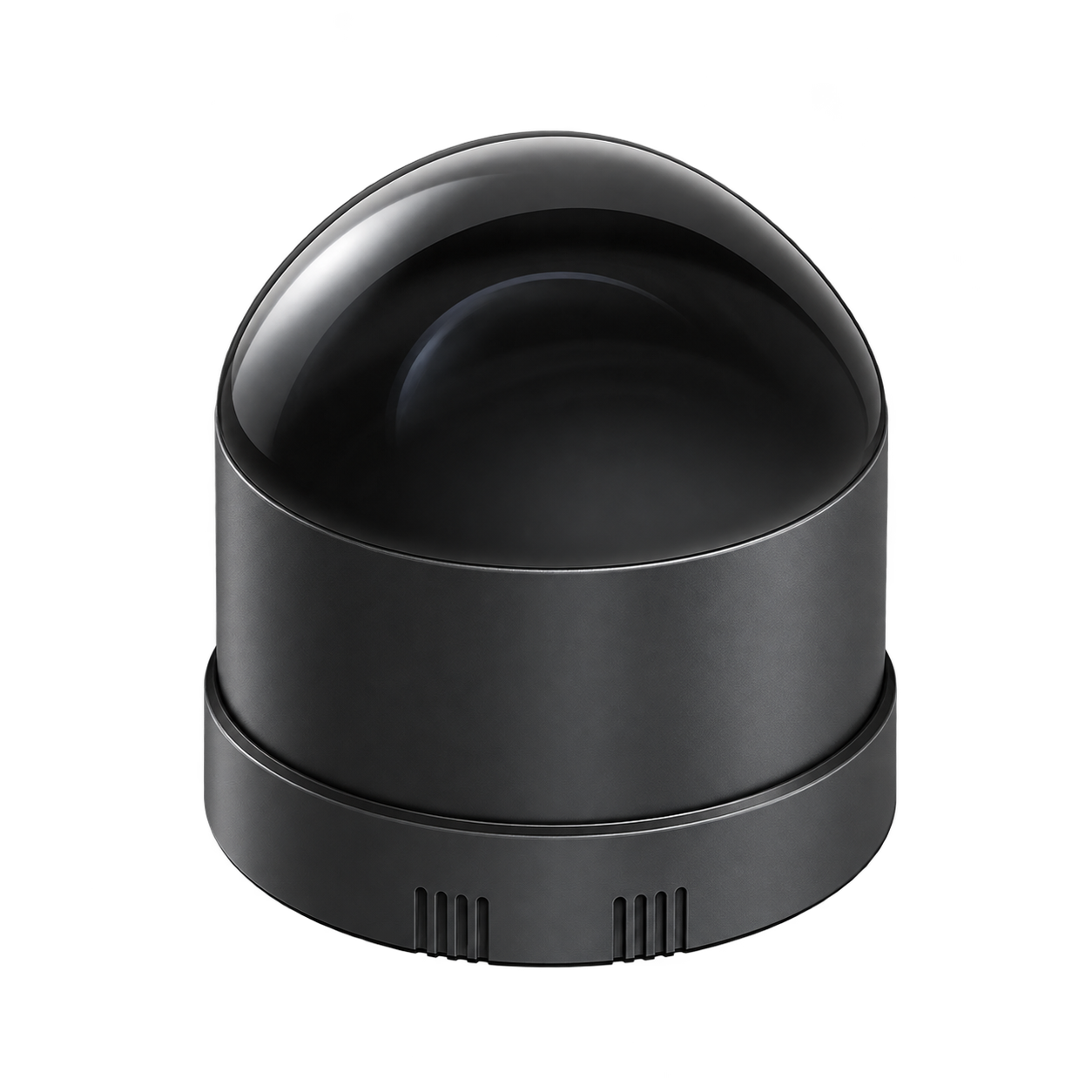
Switches the displayed specifications only. Purchase and inquiry configurations are selected separately.
| Ranging distance | Ranging range: 40 m
Farthest range: 60 m
Nearest ranging/blind zone: 0 m Conditions
|
|---|---|
| Field of view (FOV) | 360° × 189° (super hemisphere) Conditions
|
| Channels / Array | 128 line |
| Angular resolution | H 0.4° / V 0.74° |
| Point rate | Single echo point frequency: 1,152,000 point/s
Dual echo point frequency: 2,304,000 point/s |
| Frame rate | 10 / 20 Hz |
| Ranging accuracy | Measurement accuracy: ±3 cm
Ranging repeatability: 2 cm Conditions
|
| Data interface | 100BASE-TX Conditions
|
| Power supply | 9–32 V DC Conditions
|
| Dimensions & Weight | Size: Diameter 62.5 × Height 73 mm
Weight: 265 g |
| Operating environment | Temperature: −20–+65 °C
Protection: IP6K7 Conditions
|
| echo mode | Supports single echo and dual echo; default Last and Strongest dual echo |
|---|---|
| Laser safety level | Class 1 |
| Other power supply parameters | Rated/Typical power consumption: 8.4 W
Peak and minimum power capabilities: 30 W
Current and conditions: at least 2.6 A Conditions
|
|---|
| Point cloud data rate | Single echo 41.26 / Dual echo 82.51 Mbps |
|---|---|
| Connectors and cables | Signal Electronics M8 series male socket Conditions
|
| Synchronization | GNSS / PTP(1588v2 over UDP/IP、L2、802.1AS、802.1AS Automotive) |
| System & software scope | HesaiLidar_ROS_2.0 official driver repository lists this model |
| Ranging distance | Ranging range: 40 m
Farthest range: 60 m
Nearest ranging/blind zone: 0 m Conditions
|
|---|---|
| Field of view (FOV) | 360° × 189° (super hemisphere) Conditions
|
| Channels / Array | 128 line |
| Angular resolution | H 0.4° / V 0.74° |
| Point rate | Single echo point frequency: 1,152,000 point/s
Dual echo point frequency: 2,304,000 point/s |
| Frame rate | 10 / 20 Hz |
| Ranging accuracy | Measurement accuracy: ±3 cm
Ranging repeatability: 2 cm Conditions
|
| Data interface | 100BASE-TX Conditions
|
| Power supply | 9–32 V DC Conditions
|
| Dimensions & Weight | Size: Diameter 62.5 × Height 73 mm
Weight: 265 g |
| Operating environment | Temperature: −20–+65 °C
Protection: IP6K7 Conditions
|
| echo mode | Supports single echo and dual echo; default Last and Strongest dual echo |
|---|---|
| Laser safety level | Class 1 |
| Other power supply parameters | Rated/Typical power consumption: 8.4 W
Peak and minimum power capabilities: 30 W
Current and conditions: at least 2.6 A Conditions
|
|---|
| Point cloud data rate | Single echo 41.26 / Dual echo 82.51 Mbps |
|---|---|
| Connectors and cables | Signal Electronics M8 series male socket Conditions
|
| Synchronization | GNSS / PTP(1588v2 over UDP/IP、L2、802.1AS、802.1AS Automotive) |
| System & software scope | HesaiLidar_ROS_2.0 official driver repository lists this model |
Included items, options, wiring harnesses and mounting hardware are confirmed according to the selected model and system configuration.
This page corresponds to JT128; the number of wires and configuration of the same series JT64P are selected separately.
When using these documents, please check the product model, hardware configuration and document version.
Explore the compute, perception and mobile platforms used in related solutions; see each solution for compatibility conditions and options.
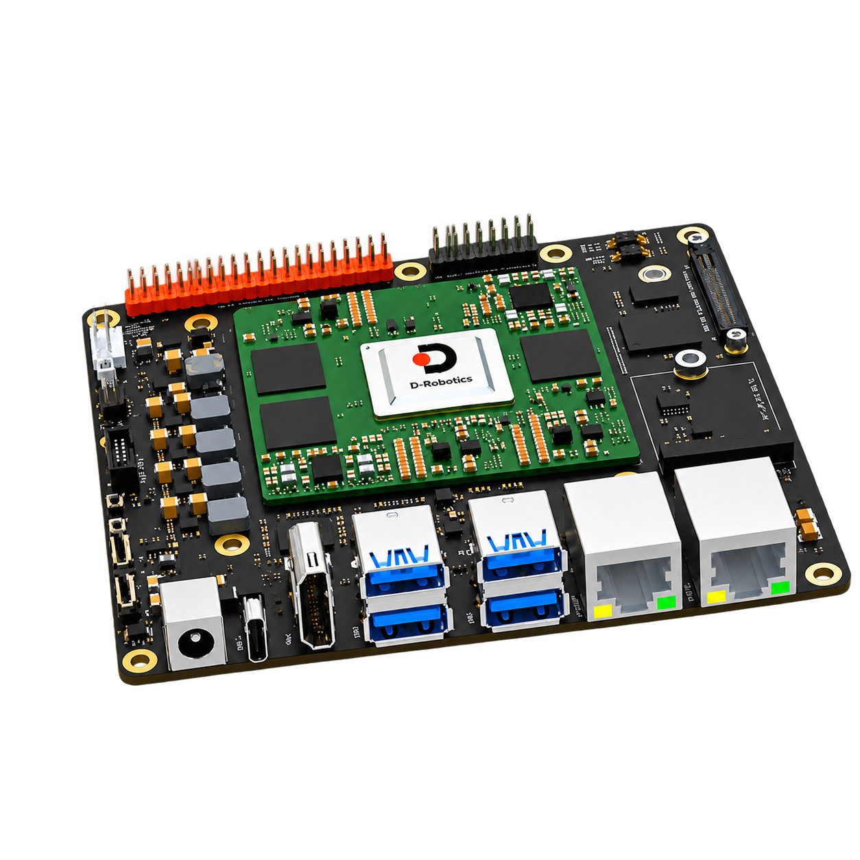 D-Robotics RDK S100P Compute & control D-Robotics RDK S100 Compute & control
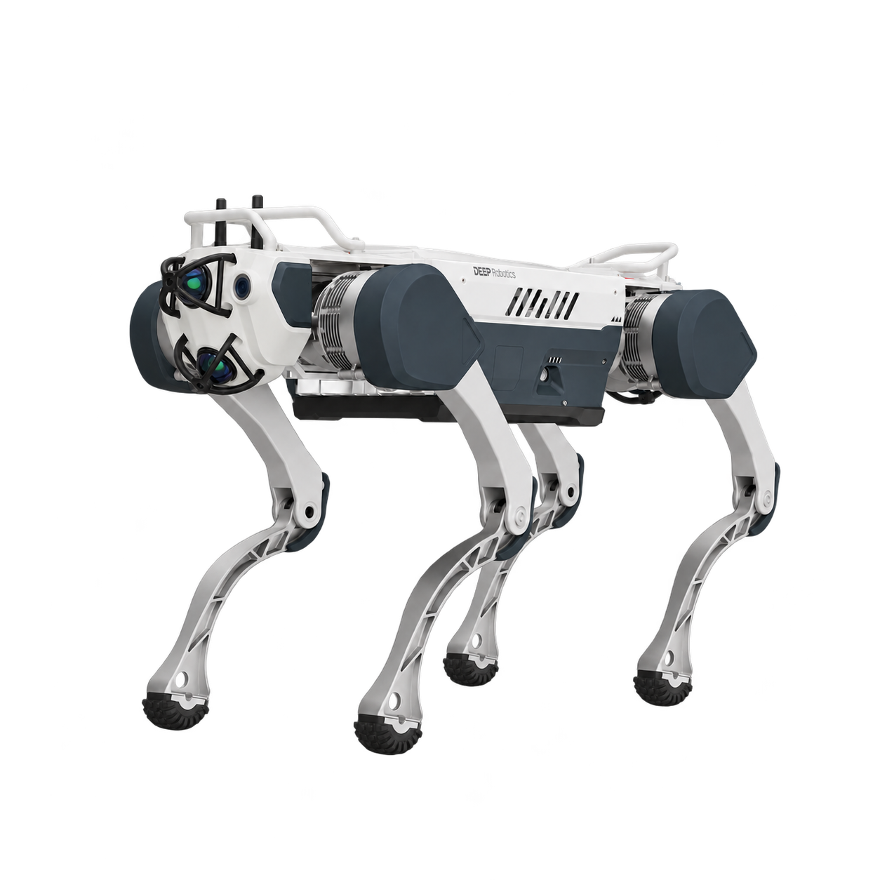 DEEP Robotics X30 Quadruped & wheeled-legged robots
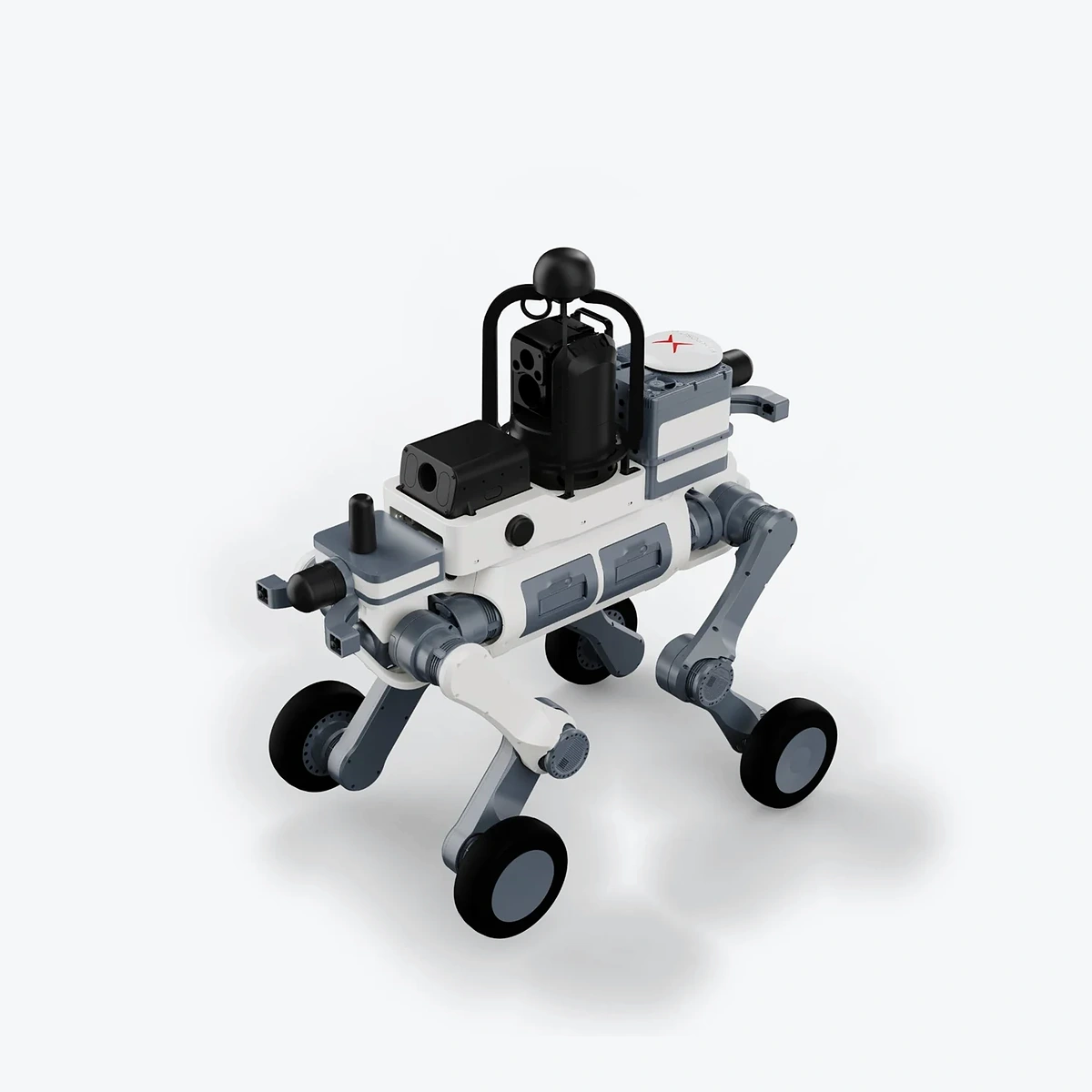 DEEP Robotics LYNX M20 Quadruped & wheeled-legged robots
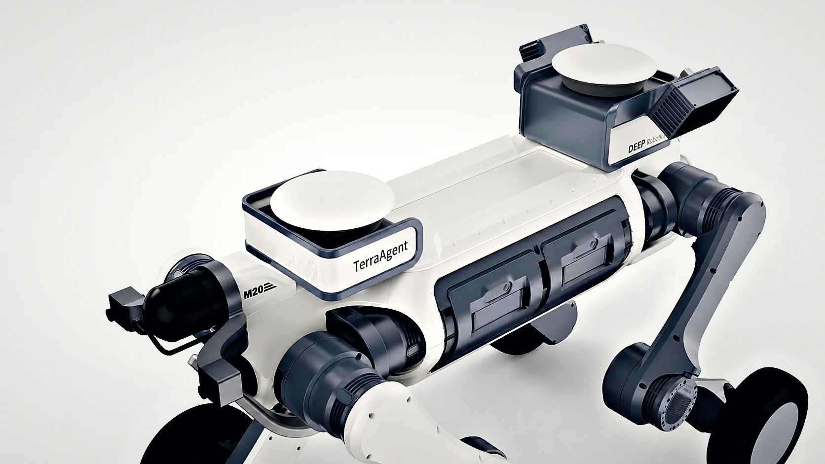 TerraAgent Quadruped Perception & Positioning Payload Perception & positioning payloads
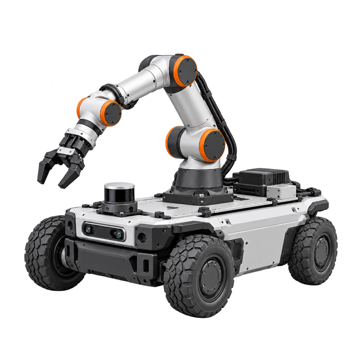 Other RJ autonomy and robot system integration services Customization & integration