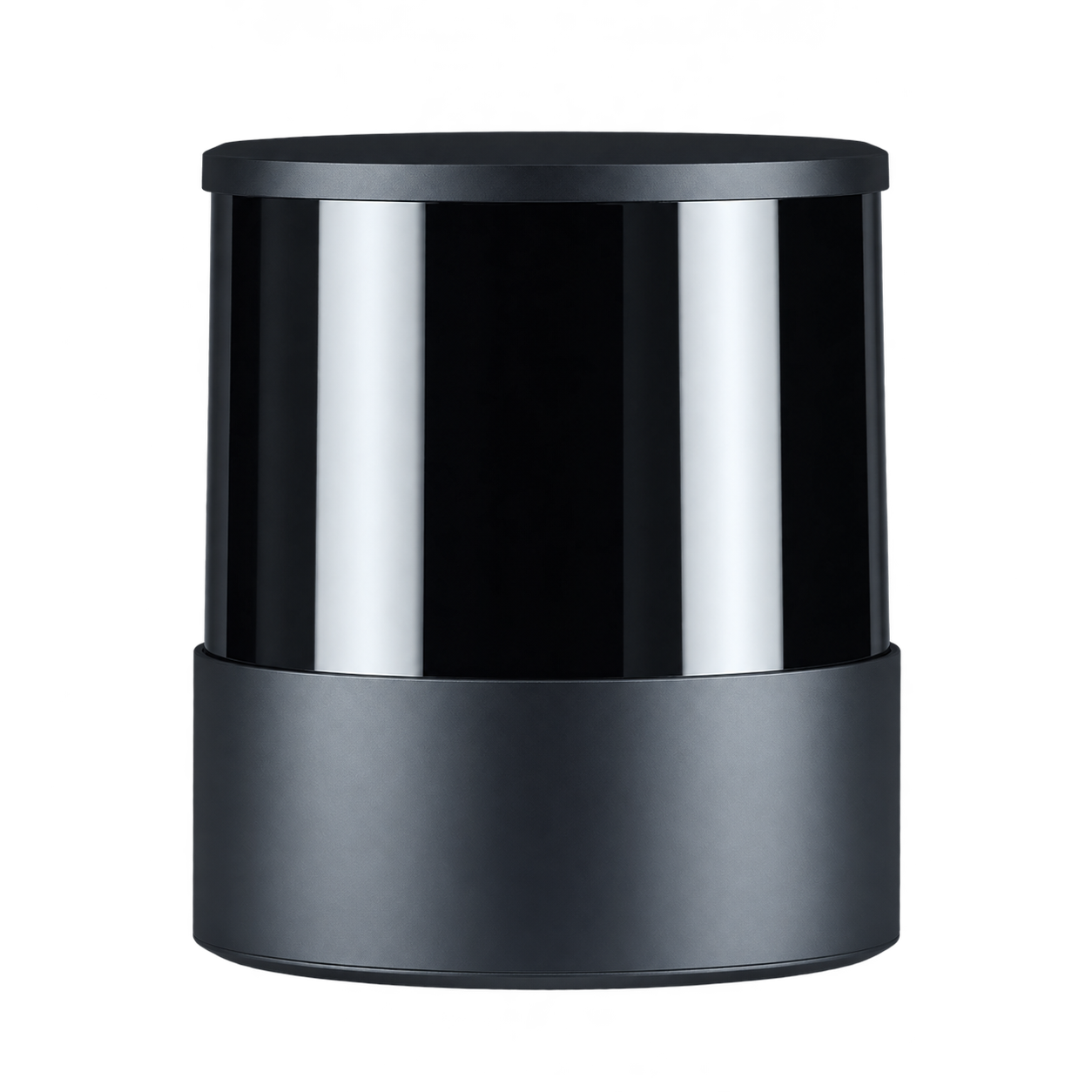
OT128 · 128 line
360° × 40° field of view, 200m@10% reflectivity; equipment interface and Power supply accessories are based on the complete model accessories.
 Germany
 Netherlands
 Switzerland
 Austria
 Norway
 Finland
Hesai Hesai · LiDAR LiDAR
LiDAR, which provides circumferential point cloud, can be used as a remote environment sensing and data collection device for mobile robots. Target distance, vertical coverage and installation height are evaluated together when selecting.
Automotive-grade design · per manufacturer
Switches the displayed specifications only. Purchase and inquiry configurations are selected separately.
| Ranging distance | Ranging range: 200 m
Farthest range: 230 m
Nearest ranging/blind zone: 0.3 m Conditions
|
|---|---|
| Field of view (FOV) | H 360° / V 40° |
| Channels / Array | 128 line |
| Angular resolution | H 0.1° / V 0.125° |
| Point rate | Single echo point frequency: 3,456,000 point/s
Dual echo point frequency: 6,912,000 point/s |
| Frame rate | 10 / 20 Hz |
| Ranging accuracy | ±3 cm Conditions
|
| Data interface | 1000BASE-T1 Conditions
|
| Power supply | 9–32 V DC |
| Dimensions & Weight | Size: Diameter 118 × Height 132.3 mm
Weight: 2.2 kg |
| Operating environment | Temperature: −40–+75 °C
Protection: IP6K7 / IP6K9K |
| echo mode | Support single echo and dual echo |
|---|---|
| Laser safety level | Class 1 |
| Other power supply parameters | Rated/Typical power consumption: 29 W
Peak and minimum power capabilities: 35 W |
|---|
| Point cloud data rate | The maximum single echo is 130.61 / the maximum dual echo is 261.22 Mbps |
|---|---|
| Connectors and cables | TE Connectivity 2387351-1 (radar male connector) Conditions
|
| Synchronization | PTP(802.1AS Automotive / AUTOSAR) Conditions
|
| System & software scope | HesaiLidar_ROS_2.0 official driver repository lists this model |
| Ranging distance | Ranging range: 200 m
Farthest range: 230 m
Nearest ranging/blind zone: 0.3 m Conditions
|
|---|---|
| Field of view (FOV) | H 360° / V 40° |
| Channels / Array | 128 line |
| Angular resolution | H 0.1° / V 0.125° |
| Point rate | Single echo point frequency: 3,456,000 point/s
Dual echo point frequency: 6,912,000 point/s |
| Frame rate | 10 / 20 Hz |
| Ranging accuracy | ±3 cm Conditions
|
| Data interface | 1000BASE-T1 Conditions
|
| Power supply | 9–32 V DC |
| Dimensions & Weight | Size: Diameter 118 × Height 132.3 mm
Weight: 2.2 kg |
| Operating environment | Temperature: −40–+75 °C
Protection: IP6K7 / IP6K9K |
| echo mode | Support single echo and dual echo |
|---|---|
| Laser safety level | Class 1 |
| Other power supply parameters | Rated/Typical power consumption: 29 W
Peak and minimum power capabilities: 35 W |
|---|
| Point cloud data rate | The maximum single echo is 130.61 / the maximum dual echo is 261.22 Mbps |
|---|---|
| Connectors and cables | TE Connectivity 2387351-1 (radar male connector) Conditions
|
| Synchronization | PTP(802.1AS Automotive / AUTOSAR) Conditions
|
| System & software scope | HesaiLidar_ROS_2.0 official driver repository lists this model |
Included items, options, wiring harnesses and mounting hardware are confirmed according to the selected model and system configuration.
360° × 40° field of view, 200m@10% reflectivity; equipment interface and Power supply accessories are based on the complete model accessories.
When using these documents, please check the product model, hardware configuration and document version.
Explore the compute, perception and mobile platforms used in related solutions; see each solution for compatibility conditions and options.